NATIONAL
India Maritime Border: How far does India's maritime border extend, where can the Indian Navy be deployed; how is this decided?
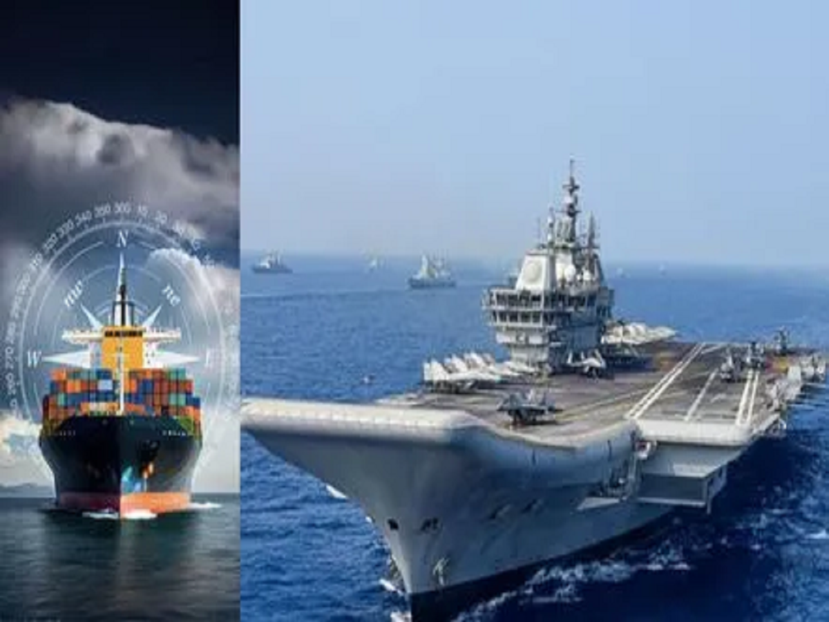
India Maritime Border: Tensions are rising in the Middle East. Recently, the US targeted an Iranian warship returning from India. Meanwhile, let's explore India's maritime border.
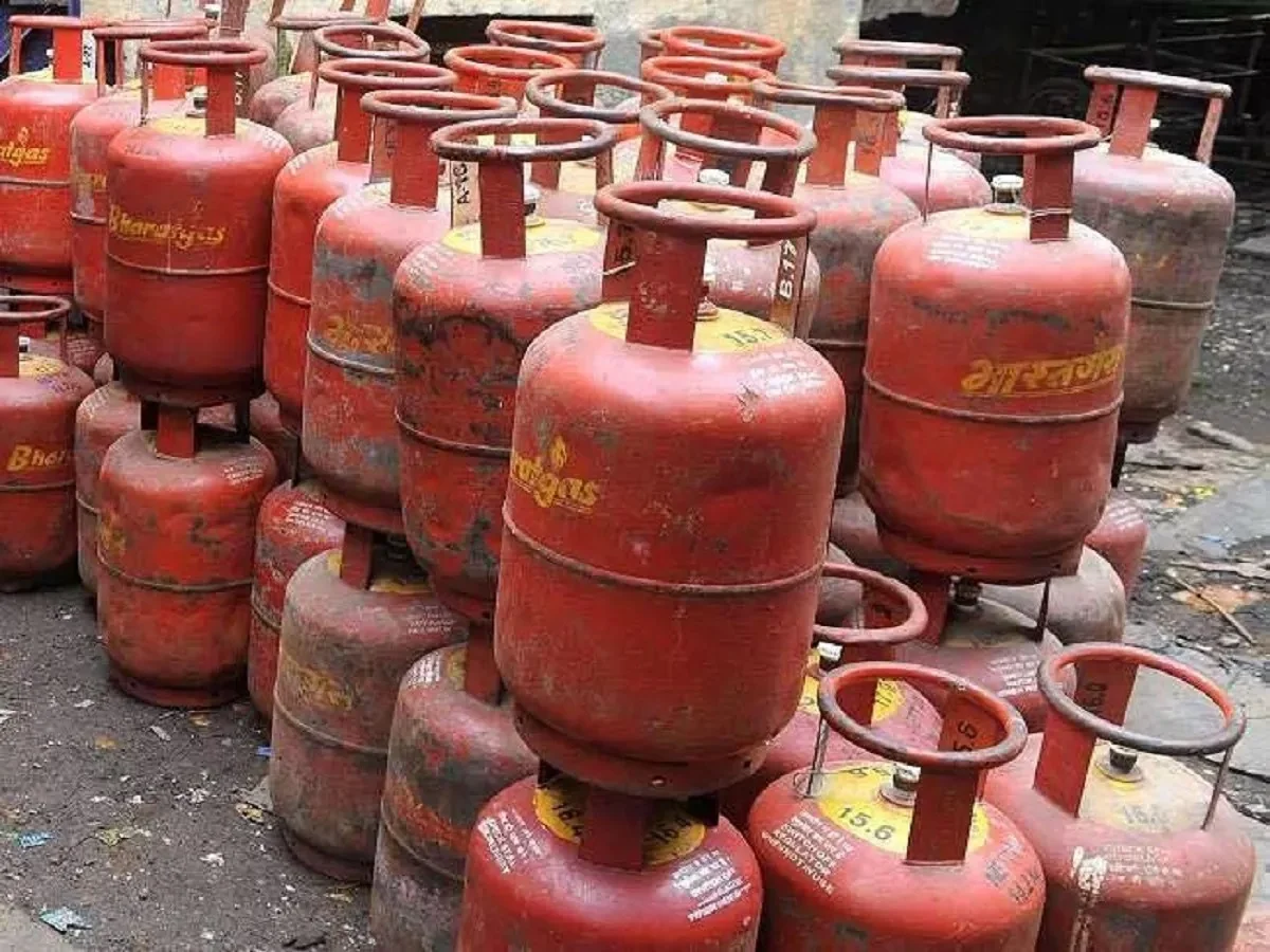
India Maritime Border: Amid rising tensions in the Middle East and the crisis surrounding the Strait of Hormuz, the Indian government is considering deploying the Indian Navy to protect ships stranded in the Persian Gulf. Reports suggest a decision on this matter could be made soon. Meanwhile, news of an Iranian warship returning from India being sunk by an American submarine in the Indian Ocean has also drawn attention. Meanwhile, a question is arising: how far does India's maritime border extend, and how far can the Indian Navy legally operate? Let's explore the answer to this question.
How are India's maritime boundaries determined?
India's maritime boundaries are determined in accordance with the United Nations Convention on the Law of the Sea, 1982. These international rules are enforced in India through the Territorial Waters, Continental Shelf, Exclusive Economic Zone and Other Maritime Zones Act, 1976.
These laws divide India's maritime boundaries into several zones, defining the country's rights and the scope of naval deployment.
How far does territorial water extend?
The first and most important maritime boundary is territorial waters. It extends 12 nautical miles along the coast from India's baseline. This zone is considered an integral part of the country, just like the land territory. Within this area, India has complete control over the sea surface, seabed, and even the airspace above it. The Indian Navy and coastal security agencies have full authority to enforce law and protect national security in this area.
What is buffer zone?
Beyond the territorial waters is an adjoining zone, extending 24 nautical miles from the coast. This zone serves as a buffer zone for law enforcement. Although it is not fully sovereign, India has the authority to enforce customs, tax, immigration, and pollution control laws. Authorities can take action against vessels suspected of violating Indian laws.
What is Exclusive Economic Zone?
The largest maritime zone under India's control is the Exclusive Economic Zone. It extends 200 nautical miles from the coastline. Within this zone, India has exclusive economic rights over natural resources. These include fishing rights, extraction of oil and minerals from the seabed, construction of artificial islands, and scientific research.
How far can the Indian Navy work?
From a military perspective, the Indian Navy's operational range is not limited to India's territorial waters. The Navy can deploy ships and submarines into international waters beyond the Exclusive Economic Zone (EEZ), commonly known as the high seas.
These waters are open to all nations under international law. The Indian Navy frequently conducts patrols and anti-piracy missions in these areas to protect shipping routes and strategic interests.
International Maritime Boundary Line
In areas where India shares its maritime boundary with neighboring countries, such as Pakistan or Sri Lanka, the maritime border is defined as the International Maritime Boundary Line. This boundary is determined by mutual agreement between the countries and follows principles under international maritime law.
Additionally, all maritime zones are measured from a baseline. This is usually the lowest water level along the coastline. This baseline serves as the starting point. Distances such as 12 nautical miles or 200 nautical miles are calculated from this baseline. Where maritime claims between two countries overlap, boundaries are determined through bilateral agreements or international arbitration under the United Nations Convention on the Law of the Sea guidelines.
PC:Navrashtra