BUSINESS
Government’s New Land Records Scheme: Property Owners May Soon Get Digital Land IDs and Paperless Registration
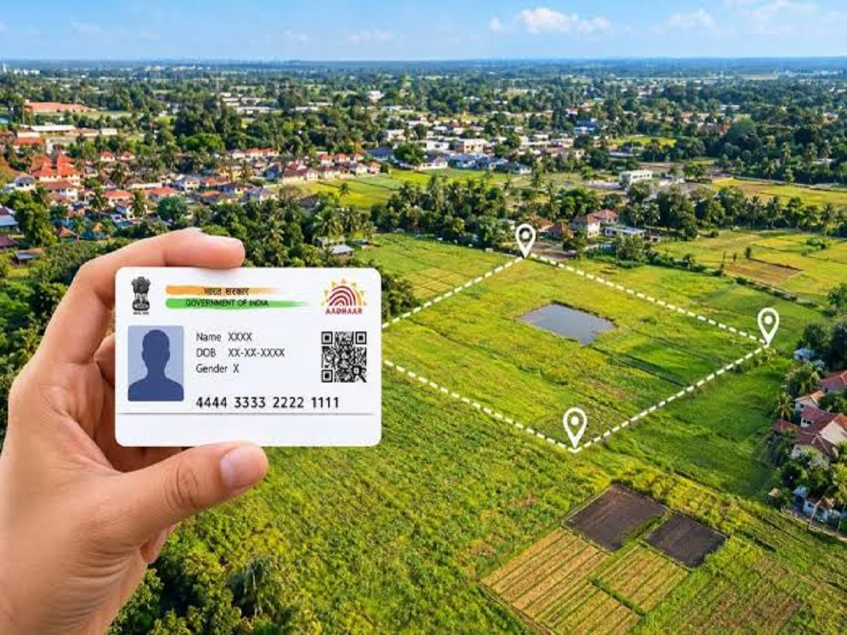
The Government of India has launched the next phase of its land-record modernisation programme, bringing a major digital push to property records, land maps and registration services.
The Digital India Land Records Modernization Programme (DILRMP) 3.0 will run from 2026 to 2031 and has an anticipated financial outlay of ₹565.50 crore. The programme aims to make land-related services more transparent, integrated and easier for citizens to access.
What Is DILRMP 3.0?
The new phase goes beyond simply putting existing land records online. The government plans to create a comprehensive, GIS-enabled “Land Stack” that can connect land maps, ownership information, property registration and court cases.
The objective is to create a more reliable digital system where citizens can access multiple property-related services without having to repeatedly visit government offices.
Every Land Parcel Could Get a Unique Digital ID
One of the key features is Universal Bhu-Aadhaar, also known as ULPIN.
Under this framework, every land parcel is planned to receive a 14-digit unique identification number. This is intended to give individual properties a clear digital identity and make it easier to match ownership records with the corresponding land parcel.
Property Registration to Become Paperless
The government is also planning to introduce end-to-end online and paperless property registration.
A new Registration Repository is part of the plan, while 75 Sub-Registrar Offices are proposed to be upgraded into modern Registration Seva Kendras.
The aim is to reduce paperwork and make property-related government services faster and more convenient for citizens.
Land Maps Will Be Digitised and Georeferenced
Another important part of DILRMP 3.0 is the digitisation of cadastral maps.
These maps will be linked with precise geographical coordinates through georeferencing. This could help improve the accuracy of land records and make it easier to identify the exact location and boundaries of properties.
Land Disputes Could Also Be Tracked Digitally
The programme also proposes an integrated Revenue Court Case Management System.
It will connect revenue court proceedings with land records, allowing property-related disputes to be tracked through a digital system. The government expects this integration to help reduce the time and cost involved in dealing with land disputes.
What Does This Mean for Property Owners?
For ordinary property owners, the long-term goal is to make land-related services more convenient.
If the proposed system is implemented effectively, citizens could benefit from:
- Easier access to digital land records
- Unique identification for individual land parcels
- More accurate digital maps
- Paperless property registration
- Better integration of ownership and registration records
- Digital tracking of certain land-related disputes
- Fewer physical visits to government offices
The government says DILRMP 3.0 is designed around “Ease of Living” and “Ease of Doing Business”, with the broader aim of creating a trusted and integrated digital land-information ecosystem.
A Major Change for India’s Property System
With DILRMP 3.0, the government is attempting to move India's land administration from basic digitisation towards a fully integrated digital property ecosystem.
The programme is expected to be implemented across all States and Union Territories during its 2026–2031 roadmap. For property owners, one of the biggest potential changes will be the gradual shift towards more digital, paperless and easily accessible land-related services.