NATIONAL
Weather Alert: Heavy Rain Likely Across North and Central India as Monsoon Stays Active Through August 16
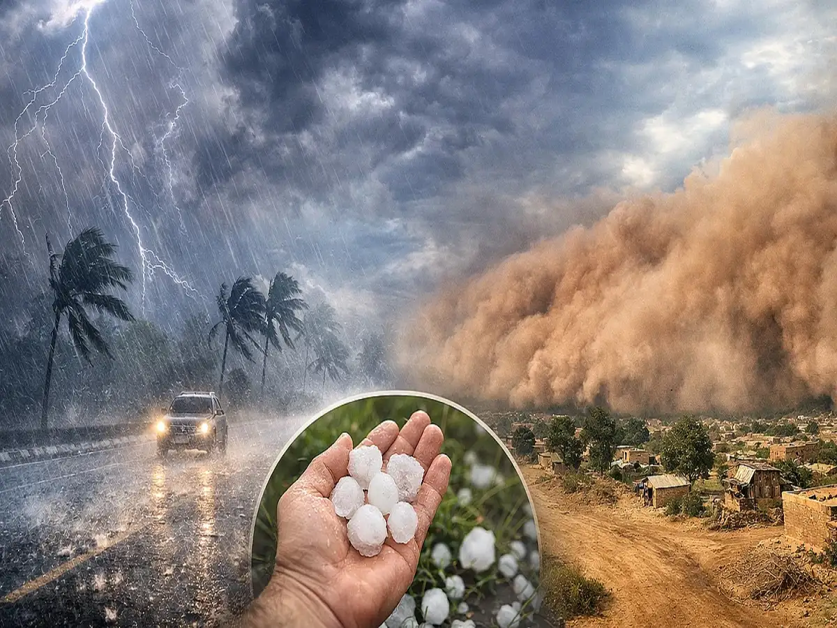
India Weather Update, August 11, 2026: The monsoon is expected to remain active across large parts of northwestern, western and central India over the coming days, bringing another spell of widespread rainfall. According to the weather forecast cited in the report, rain is likely to continue across Delhi, Haryana, Punjab, Chandigarh, Himachal Pradesh, Jammu and Kashmir, Ladakh, Uttar Pradesh and Uttarakhand.
While many places could receive light to moderate showers, isolated pockets may experience heavy to very heavy rainfall. Hilly regions require particular caution as prolonged rain can increase the possibility of landslides, flash floods, swollen streams and temporary road disruptions.
Several weather systems are influencing the current monsoon pattern, while another low-pressure area may develop over the Bay of Bengal around August 13. If it forms as expected, rainfall activity could remain elevated across parts of the country.
Delhi-NCR, Haryana and Chandigarh Rain Forecast
Delhi-NCR and neighbouring Haryana and Chandigarh are expected to experience an unsettled weather pattern over the next several days.
On August 11, rainfall is expected across several areas, with isolated locations potentially receiving heavy showers.
The intensity could ease somewhat on August 12, although scattered or intermittent rainfall may continue.
Another stronger spell could develop around August 13, bringing the possibility of heavy rainfall at isolated locations across Haryana, Chandigarh and Delhi.
Between August 14 and August 16, rainfall may continue in parts of the region, although its intensity and distribution could vary considerably from one location to another.
Cloud cover and repeated showers could provide some relief from hot and humid conditions in Delhi-NCR. However, intense rainfall over a short period can also create problems.
Waterlogging may occur in low-lying areas, while commuters could face slower traffic, reduced visibility and disruption on roads where drainage is inadequate.
Residents should follow local weather advisories before travelling during periods of intense rainfall.
Punjab Weather: More Rain Expected This Week
Punjab is also likely to experience a wet weather pattern during the coming days.
Rainfall is expected in several parts of the state on August 11, followed by scattered showers in some areas on August 12.
Rain activity could strengthen again on August 13, with showers possible across multiple districts.
Rain may continue at several places on August 14 before becoming more localised during August 15 and 16.
Since monsoon rainfall can vary significantly within short distances, residents should pay attention to district-level warnings rather than relying only on a statewide forecast.
People travelling during heavy rain should also watch for waterlogged roads, reduced visibility and temporary traffic disruption.
Himachal Pradesh Faces Risk of Heavy to Very Heavy Rain
Himachal Pradesh could be among the more vulnerable regions during the current monsoon spell.
The forecast cited in the report indicates the possibility of heavy to very heavy rainfall at isolated places on August 11.
Heavy rainfall may continue in parts of the state between August 12 and August 15.
Persistent rain in mountainous terrain can create risks that go beyond ordinary waterlogging.
Potential impacts include:
-
Landslides and falling debris
-
Temporary road blockages
-
Rising water levels in rivers and streams
-
Localised flooding
-
Flash floods in vulnerable catchments
-
Disruption to local transport
-
Reduced visibility on mountain roads
Some catchment areas around Shimla and Sirmaur have also been identified as potentially vulnerable to flash flooding, according to the forecast information cited in the source.
Tourists and residents in the hills should avoid unnecessary travel through landslide-prone stretches during intense rainfall and follow instructions issued by local authorities.
Why Heavy Rain Is More Dangerous in Hill States
Heavy rainfall can create problems almost immediately in mountainous areas.
Water running rapidly down slopes can loosen soil and rocks, while saturated ground can increase the possibility of landslides.
Small streams can also rise quickly after intense rainfall upstream, even when conditions at a particular location initially appear manageable.
This is why travellers should not attempt to cross flooded roads, overflowing streams or stretches where authorities have restricted movement.
Those planning journeys in Himachal Pradesh should check both the weather forecast and current road conditions before departure.
Jammu and Kashmir, Ladakh Weather Update
Jammu and Kashmir and Ladakh are also expected to see unsettled conditions.
Rainfall is likely at several places between August 11 and August 13, while isolated heavy rain may occur on August 11.
The western Himalayan region could remain meteorologically active as multiple weather systems influence rainfall.
People travelling through mountainous districts should therefore check local forecasts, highway updates and advisories before beginning their journey.
Heavy rain in the mountains can result in temporary road closures, falling stones and sudden changes in stream levels.
Monsoon Remains Active Across North India
The broader weather pattern suggests that the monsoon remains active across northern India.
Rather than one continuous period of equally intense rain everywhere, rainfall is likely to occur in spells.
Some locations may experience only brief showers, while nearby districts could receive much heavier rainfall.
This uneven distribution is common during the monsoon and is one reason residents should monitor local alerts.
Heavy rain combined with thunderstorms can also affect power supply, road traffic and outdoor activities.
What Is Driving the Current Rainfall?
Several atmospheric systems are contributing to the ongoing monsoon activity.
A low-pressure area near Madhya Pradesh is supporting rainfall across surrounding regions.
At the same time, the monsoon trough is influencing weather across parts of northern India.
A western disturbance is also affecting the broader weather pattern, particularly across northern and Himalayan regions.
Meanwhile, a cyclonic circulation over the Bay of Bengal is contributing additional moisture to the monsoon system.
When several such systems interact, rainfall can become more widespread or intense across different regions.
New Low-Pressure Area May Form Around August 13
Another important development could take place over the Bay of Bengal.
According to the forecast cited in the report, a fresh low-pressure area may develop around August 13.
Such systems can influence the distribution and intensity of monsoon rainfall as they move or interact with existing atmospheric conditions.
If the system develops as anticipated, it could help sustain or increase rainfall activity over parts of central and adjoining India during the following days.
However, the exact impact will depend on its strength, position and movement.
Uttar Pradesh and Uttarakhand Could Also See More Rain
The active monsoon pattern is also expected to keep rainfall going across Uttar Pradesh and Uttarakhand.
In Uttar Pradesh, repeated spells of rainfall can raise the possibility of local waterlogging, particularly in urban areas and locations where drainage is already under pressure.
Uttarakhand requires additional caution because of its mountainous terrain.
Heavy rainfall in the state can increase the risk of landslides, falling rocks, swollen rivers and disruption along hill roads.
Pilgrims and tourists travelling through mountainous districts should follow local administration and weather advisories closely.
Central India Remains Important to the Monsoon Pattern
Central India is also playing a major role in the current weather situation.
The low-pressure system near Madhya Pradesh is helping maintain moisture and rainfall over the region and adjoining states.
Depending on the movement of existing systems and the possible formation of another low-pressure area over the Bay of Bengal, central India could continue experiencing active monsoon conditions.
Periods of intense rainfall can lead to rapid water accumulation in low-lying areas and rising levels in local rivers and reservoirs.
What Should People Do During Heavy Rain?
People living in areas under heavy-rain warnings should keep track of official forecasts and local administration alerts.
Avoid unnecessary travel during extremely intense rainfall, particularly in mountainous or flood-prone areas.
Never attempt to walk or drive through fast-moving floodwater because its depth and force can be difficult to judge.
During thunderstorms, avoid open fields, isolated trees and exposed locations.
Drivers should reduce speed during heavy rain and maintain additional distance from other vehicles because visibility and braking conditions can deteriorate quickly.
Active Monsoon Could Continue Through Mid-August
The overall weather pattern suggests that monsoon activity will remain significant across several parts of India through the middle of August.
Delhi, Haryana, Punjab and Chandigarh could see repeated spells of rain, while Himachal Pradesh and other Himalayan areas face a greater risk from heavy rainfall because of their terrain.
Jammu and Kashmir, Ladakh, Uttar Pradesh and Uttarakhand are also expected to remain under an unsettled weather pattern.
The possible development of a fresh low-pressure area over the Bay of Bengal around August 13 could become an important factor in determining rainfall intensity during the second half of the week.
Residents, commuters and tourists should therefore continue checking the latest official forecast, especially before travelling through regions where heavy rain, flash floods or landslides are possible.
Disclaimer: Weather conditions can change rapidly and rainfall intensity can vary significantly between nearby locations. This article is based on the forecast information cited in the source report. For real-time warnings and location-specific forecasts, follow the latest updates issued by the India Meteorological Department and local authorities.