NATIONAL
Weather Alert for August 12: Heavy Rain Forecast Across 19 States, Strong Winds May Reach 90 Kmph
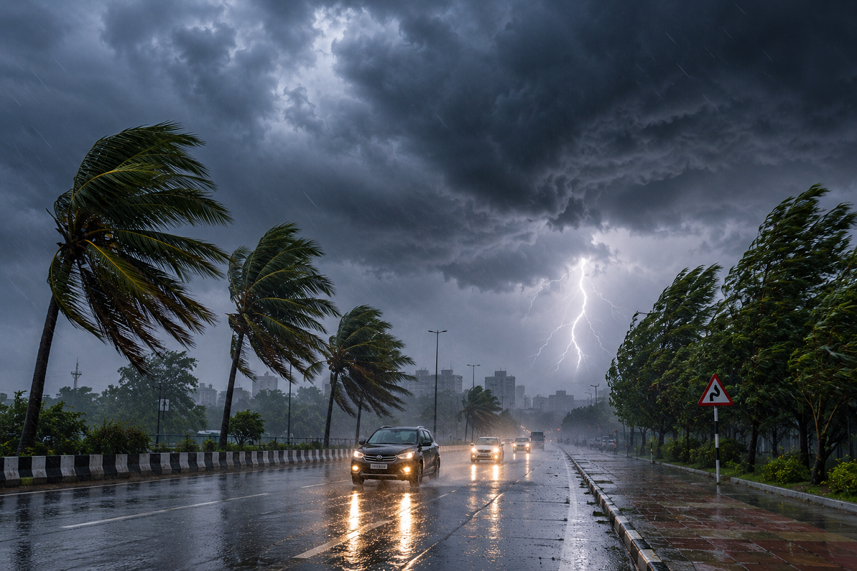
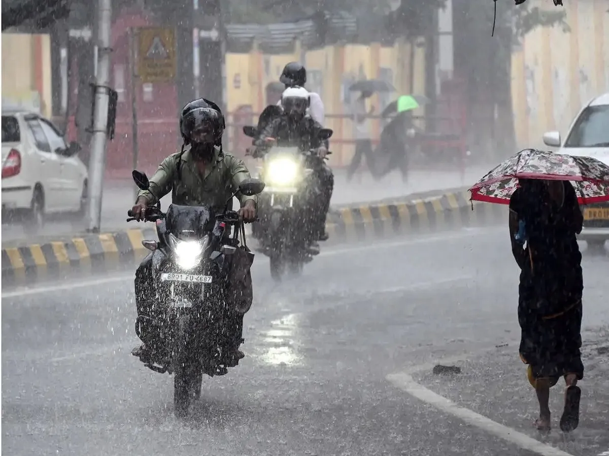
Weather Forecast for August 12, 2026: The monsoon is expected to remain active across large parts of India on Wednesday, August 12, with heavy rainfall, thunderstorms, lightning and strong winds forecast across several states.
According to the weather update, around 19 states and Union Territories, including Delhi, Uttar Pradesh, Bihar, Rajasthan, Madhya Pradesh, Uttarakhand and Himachal Pradesh, could experience intense spells of rain. Wind speeds during thunderstorms may become particularly strong in some regions, with gusts potentially reaching up to 90 kmph.
The combination of heavy rainfall and strong winds could lead to waterlogging, traffic disruption, falling trees and damage to weak structures. In the Himalayan region, prolonged rainfall may also increase the risk of landslides and flash floods.
People planning to travel on August 12 should therefore keep track of local weather advisories, particularly in areas under heavy-rain warnings.
Heavy Rain Alert Across 19 States
The weather outlook indicates rain and thunderstorm activity across:
Uttar Pradesh, Delhi, Bihar, Haryana, Rajasthan, Uttarakhand, Himachal Pradesh, Punjab, Jammu and Kashmir, Jharkhand, West Bengal, Odisha, Madhya Pradesh, Chhattisgarh, Gujarat, Maharashtra, Telangana, Andhra Pradesh and Kerala.
Rainfall intensity will not be the same everywhere. Some areas may experience intermittent light or moderate rain, while isolated locations could receive heavy to very heavy showers.
Thunderstorms accompanied by lightning and gusty winds are also possible in several regions.
What Is Driving the Heavy Rain?
Several weather systems are influencing the monsoon pattern.
An upper-air cyclonic circulation is present over the northwestern Bay of Bengal and adjoining areas, while a low-pressure system around northeastern Madhya Pradesh and neighbouring Chhattisgarh is supporting rainfall over central India.
The monsoon trough and other atmospheric circulations are also helping maintain widespread rainfall activity.
These systems could keep weather conditions unstable across northern, central, eastern and western parts of the country.
Delhi Weather on August 12
Delhi could experience cloudy conditions along with rain and thunderstorms on Wednesday.
Strong winds of around 30-40 kmph may accompany thunderstorms in some areas.
The temperature in Delhi is expected to remain around:
| City | Maximum Temperature | Minimum Temperature |
|---|---|---|
| Delhi | 36°C | 29°C |
Heavy spells could result in temporary waterlogging on low-lying roads and affect traffic during peak hours.
Commuters should check local traffic and weather conditions before leaving home.
Uttar Pradesh: Heavy Rain and Thunderstorm Warning
Several districts of Uttar Pradesh could see significant rainfall and thunderstorm activity.
Areas mentioned in the forecast include Meerut, Gautam Buddha Nagar, Aligarh, Agra, Mathura, Kanpur, Bahraich, Balrampur, Ambedkar Nagar, Varanasi, Chandauli, Sonbhadra, Mirzapur, Shahjahanpur, Rampur, Unnao, Prayagraj, Deoria and Gorakhpur.
Thunderstorm winds could become strong in isolated areas, potentially reaching around 70-80 kmph.
Lucknow is expected to record a maximum temperature of around 36°C and a minimum of approximately 29°C.
Bihar Weather: Rain Alert for Patna and Several Districts
Bihar is also likely to experience widespread monsoon activity.
Heavy rain and thunderstorms are possible in Patna, Gaya, West Champaran, East Champaran, Siwan, Rohtas, Aurangabad, Buxar, Saran, Bhojpur, Muzaffarpur, Vaishali, Samastipur, Darbhanga, Madhubani, Purnia, Kishanganj, Katihar, Araria, Begusarai and Bhagalpur.
Strong winds of around 60-70 kmph may occur during thunderstorms in some areas.
Patna's temperature could remain around 36°C maximum and 29°C minimum.
Jharkhand Weather on August 12-13
Heavy rainfall and thunderstorms could affect parts of Jharkhand over August 12 and 13.
Districts that may see significant weather activity include Palamu, Latehar, Gumla, Garhwa, Simdega, Ranchi, West Singhbhum, Bokaro, Dhanbad, Giridih, Sahibganj, Ramgarh, Hazaribagh, East Singhbhum and Chatra.
Thunderstorm winds may reach around 70 kmph in isolated locations.
Ranchi could see temperatures of approximately 31°C maximum and 24°C minimum.
Uttarakhand Faces Heavy Rain Risk
The weather situation requires particular attention in the Himalayan states because persistent rainfall can trigger landslides, rockfalls and sudden rises in rivers and streams.
In Uttarakhand, areas including Nainital, Dehradun, Haridwar, Rishikesh, Chamoli, Rudraprayag, Almora, Bageshwar and Champawat could experience heavy rainfall.
Strong winds of around 60 kmph are also possible during thunderstorms.
Dehradun's temperature could remain around 33°C maximum and 26°C minimum.
People travelling towards hill stations, pilgrimage destinations or remote mountain roads should check local advisories before beginning their journey.
Himachal Pradesh: Landslide Risk May Rise
Heavy rain is also forecast across several districts of Himachal Pradesh.
The affected areas may include Chamba, Kangra, Kullu, Mandi, Solan, Bilaspur, Kinnaur, Lahaul-Spiti and Sirmaur.
Wind speeds could reach around 60-65 kmph during thunderstorms in some locations.
Manali may record a maximum temperature of around 17°C and a minimum of approximately 12°C.
Persistent rain in the hills could cause landslides, falling debris, road blockages and swelling streams.
Jammu and Kashmir Weather
Rain and thunderstorms are also possible across parts of Jammu and Kashmir.
Districts including Poonch, Rajouri, Anantnag, Baramulla, Ganderbal, Kishtwar, Doda, Kathua and Samba could see significant rainfall.
Strong winds of around 40-50 kmph may accompany thunderstorms.
Srinagar is expected to record temperatures near 31°C maximum and 20°C minimum.
Travellers should check road conditions before travelling through mountainous areas.
Rajasthan Weather: Heavy Rain Possible in Several Districts
Monsoon activity is expected to remain strong over Rajasthan.
Heavy rainfall and thunderstorms could affect Bundi, Chittorgarh, Bhilwara, Tonk, Sawai Madhopur, Baran, Kota, Pali, Bikaner, Udaipur, Jaipur, Ajmer and Bharatpur.
Thunderstorm winds may reach around 60-70 kmph at isolated locations.
Jaipur is expected to record a maximum temperature near 33°C and a minimum around 26°C.
Low-lying urban areas may face temporary waterlogging if intense rain occurs over a short period.
Madhya Pradesh Weather Forecast
Madhya Pradesh is another state where monsoon conditions could remain active.
Heavy rain or thunderstorms are possible in and around Panna, Narsinghpur, Dewas, Narmadapuram, Bhopal, Indore, Khandwa, Guna, Morena, Sheopur, Ujjain, Vidisha, Ashoknagar, Neemuch, Umaria, Chhindwara and Katni.
Wind speeds during thunderstorms could reach approximately 50 kmph.
Bhopal may see a maximum temperature around 28°C and a minimum close to 24°C.
West Bengal Weather Alert
Several parts of West Bengal could experience rain and thunderstorms on August 12 and 13.
Areas mentioned in the forecast include West Medinipur, Purba Medinipur, Howrah, Darjeeling, Nadia, Kolkata, Alipurduar, Birbhum and Kalimpong.
Thunderstorm winds may reach around 55-60 kmph in isolated locations.
Kolkata could record a maximum temperature near 32°C and a minimum around 27°C.
Punjab Weather Forecast
Rain and thunderstorms are also possible across parts of Punjab and Chandigarh.
Locations including Ludhiana, Pathankot, Barnala, Chandigarh, Jalandhar, Patiala and Gurdaspur may experience rainfall.
Strong winds of around 50-55 kmph could accompany thunderstorms in some areas.
August 12 Temperature Forecast for Major Cities
| City | Maximum | Minimum |
|---|---|---|
| Delhi | 36°C | 29°C |
| Mumbai | 29°C | 27°C |
| Chennai | 36°C | 29°C |
| Kolkata | 32°C | 27°C |
| Lucknow | 36°C | 29°C |
| Patna | 36°C | 29°C |
| Ranchi | 31°C | 24°C |
| Bhopal | 28°C | 24°C |
| Jaipur | 33°C | 26°C |
| Shimla | 28°C | 22°C |
| Nainital | 28°C | 23°C |
Strong Winds, Lightning and Landslides: What People Should Watch For
Heavy rain is not the only concern on August 12. Thunderstorms may bring damaging wind gusts and frequent lightning in some regions.
People should avoid taking shelter under isolated trees during thunderstorms and stay away from damaged electric poles or exposed wires. Farmers may need to take precautions to protect harvested crops and livestock from intense rain and wind.
In mountainous regions, avoid unnecessary travel through landslide-prone roads during periods of intense rainfall.
Fishermen should also follow official advisories before entering areas where rough weather or strong winds have been forecast.
Weather Alerts Can Change Quickly
Monsoon systems can intensify, weaken or shift location within a few hours. A district that is under a moderate warning in the morning could face stronger weather later in the day, while rainfall may also move away from some areas.
People should therefore check the latest IMD nowcast, district-level warning and local administration advisories before travelling on August 12.
Disclaimer: Weather forecasts can change depending on the movement and intensity of monsoon systems. Rainfall, wind-speed and temperature figures mentioned above are forecasts and not guaranteed observations. Follow the latest IMD and local disaster-management advisories for real-time warnings.