LIFESTYLE
Land Records: Now your land will also have an Aadhaar card; map, registration, and court case information will be available in one place
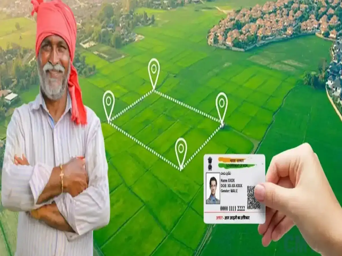
This is important news for land buyers and farmers. The government has now launched a major system to digitize and systematize land records. The government has launched a new scheme to maintain records of everyone's land. Under the Digital India Land Records Modernization Program, records of all land, from rural to urban areas, will be maintained. Complete guidelines for the third phase of DILRMP have been released.
Funding of ₹565.5 crore has been approved for the DILRMP 3.0 scheme between 2026-31. The scheme aims to bring land records, maps, registrations, and related information onto a GIS-based digital platform. Each plot is being assigned a 14-digit digital identification number. This is being called the Universal Land Parcel Identification Number (ULPIN), or simply, "Bhoo-Aadhaar."
This new system will attempt to digitally link land maps, ownership records, registry records, and other important land-related information. This will make it easier to check historical information before purchasing land. Currently, land-related information is available in different places. The land plot number is kept in the revenue department's records. The land map may be located in a different location, while land purchase and sale information is available at the registration office. Furthermore, information about whether there is a loan on the land, whether there is an ongoing dispute, or whether there is a court case, can also be found in different systems. Therefore, a land buyer has to submit multiple documents and visit offices to get all the information at once.
The government is now attempting to link all this information to a digital identity. Each plot will be assigned a 14-digit ULPIN. After receiving the Aadhaar number, arrangements will be made to simultaneously view the digital map of the land, land title records, and registry information. This will help link the physical land map to the actual geographic location. It may also be easier to see the actual location of the plot on paper and its boundaries. Rural Development Minister Shivraj Singh Chouhan, while releasing the guidelines, described this as a major step towards improving land management. The most important change will be to integrate land records located in different locations. This will make it easier for farmers to obtain institutional loans and eliminate the need for frequent office visits.
PC: CMV360