TECH
Google Maps Tricks for Heavy Rain: Use This Feature to Avoid Traffic Jams and Find a Better Route
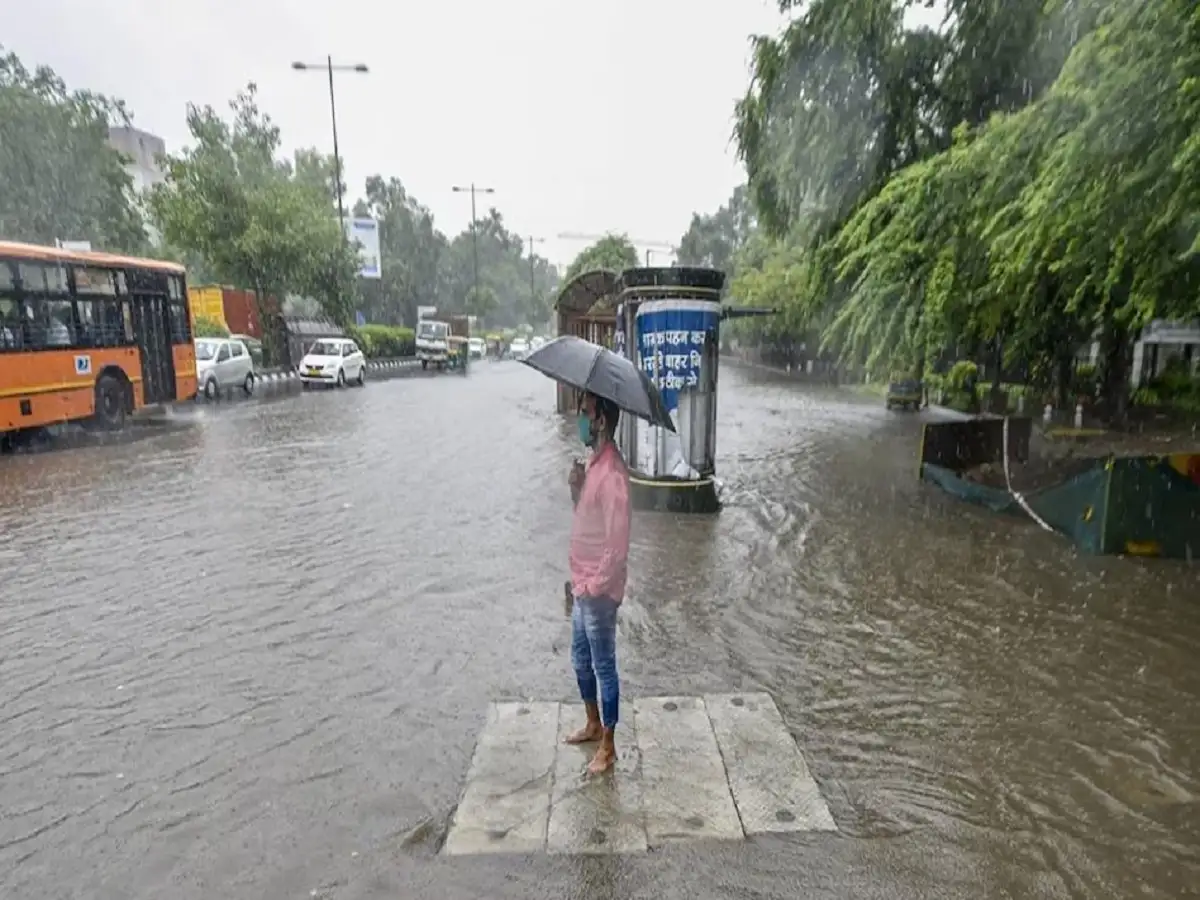
Google Maps Tips: Heavy rain during the monsoon can quickly turn an otherwise routine journey into a difficult commute. Waterlogged roads, blocked underpasses, slow-moving traffic and unexpected diversions can add significant time to a trip. Checking road conditions before leaving home can therefore help you choose a more convenient route.
One useful feature is the Traffic Layer in Google Maps. It provides a visual indication of traffic conditions on roads and can help drivers identify congested stretches before reaching them.
Here is how the feature works and how you can use it during rainy weather.
What Is the Traffic Layer in Google Maps?
The Traffic Layer is a feature that displays traffic conditions using different colours on roads shown in Google Maps.
Once enabled, coloured lines appear over supported roads. These colours indicate how quickly or slowly traffic is moving compared with normal conditions.
This makes it easier to identify congestion without checking every road individually.
What Do the Traffic Colours Mean?
Google Maps uses colour coding to make traffic information easier to understand.
Green: Traffic is moving normally and there is little or no significant congestion.
Orange: Vehicles are moving slower than usual and moderate congestion may be present.
Red: Traffic is moving slowly and the road may be experiencing substantial congestion.
Dark red: Traffic is moving very slowly, indicating severe congestion or a long traffic jam.
The exact situation on the ground can still change rapidly, particularly during heavy rain.
How to Turn On the Traffic Layer
Activating traffic information in Google Maps takes only a few steps:
-
Open the Google Maps app on your smartphone.
-
Look for the Layers icon, usually visible near the upper-right section of the map.
-
Tap the Layers button.
-
Under the available map details, select Traffic.
-
Return to the map.
Once Traffic is enabled, supported roads should begin displaying coloured traffic indicators.
You can then zoom in on your route to identify areas where traffic is moving slowly.
Check Traffic Before Starting Your Journey
During normal weather, checking traffic may simply save a few minutes. During the monsoon, however, conditions can change much faster.
Heavy rainfall can cause waterlogging at low-lying intersections and underpasses. A road that normally takes only a few minutes to cross could suddenly develop a long queue.
Before leaving, enter your destination in Google Maps and review the suggested route.
If large portions of the road appear red or dark red, check whether the app is suggesting another route with lighter traffic.
How to Choose an Alternative Route
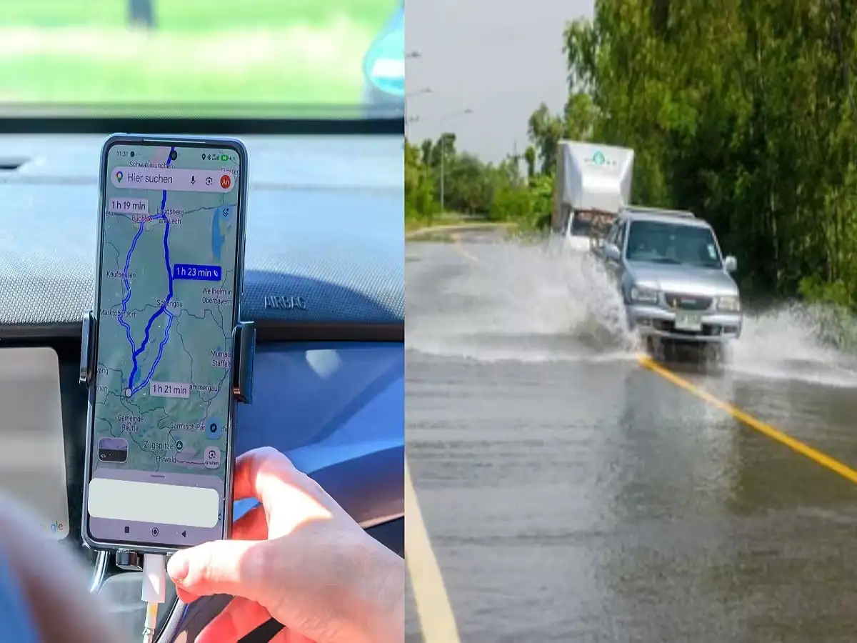
Google Maps often provides more than one route to the same destination.
The primary route may be highlighted, while alternative routes can appear alongside it with estimated travel times.
If your usual road is showing severe congestion, compare the alternatives before starting navigation. A slightly longer route in terms of distance may sometimes be faster if it avoids a major traffic jam.
However, do not choose an unfamiliar road solely because it looks less congested on the map. During heavy rain, smaller roads can also be affected by waterlogging or poor road conditions.
Use Live Navigation While Travelling
Traffic conditions may change even after your journey has started.
Keeping navigation active allows Google Maps to recalculate estimated arrival times and, in some cases, suggest a faster route when traffic conditions change.
This can be particularly useful during peak-hour rain when congestion develops suddenly.
Drivers should never operate the phone manually while the vehicle is moving. Set the destination before starting or ask a passenger to make changes.
Traffic Data Does Not Always Mean a Road Is Safe
This is especially important during severe weather.
A green road on Google Maps generally indicates that traffic is moving relatively freely. It does not necessarily mean that the road is free from waterlogging, damaged surfaces, fallen trees or other weather-related hazards.
Similarly, real-world conditions can change faster than map information is updated.
During extreme rainfall, official traffic police, disaster-management and local administration advisories should take priority over navigation suggestions.
Be Extra Careful Around Underpasses and Low-Lying Roads
Underpasses and low-lying stretches can accumulate water quickly during intense rainfall.
Even when Google Maps suggests such a road as the fastest option, motorists should avoid entering visibly flooded sections.
It can be difficult to judge the depth of standing water from inside a vehicle, and deeper water can cause engine damage or leave a vehicle stranded.
If local authorities have closed or barricaded a road, never attempt to bypass the restriction simply because navigation shows that route.
Download Offline Maps as a Backup
Heavy weather can sometimes coincide with weak mobile connectivity. If you are travelling through an unfamiliar area, downloading an offline map beforehand can provide an additional backup.
Offline maps can help with basic navigation when internet connectivity becomes unreliable. However, live traffic information requires current data, so offline navigation cannot fully replace real-time traffic updates.
A Simple Google Maps Trick That Can Save Time
The Traffic Layer can be especially useful during the monsoon because it gives motorists a quick visual overview of congestion.
The basic rule is simple: green generally means smoother traffic, orange indicates slower movement, while red and dark red suggest increasing congestion.
Checking these colours before leaving, comparing alternative routes and keeping navigation active can help reduce unnecessary delays.
But during heavy rain, navigation should always be combined with common sense and official local warnings. If a road appears flooded, blocked or unsafe, avoid it regardless of what the map suggests.
Note: Google Maps features, interface elements and traffic information can vary by device, location and app version. Live traffic data may not reflect every road closure, flood or weather-related hazard in real time.